Wild Coast Publishing
512 Central BC Coast Inside Passage Chart Assistant
512 Central BC Coast Inside Passage Chart Assistant
Couldn't load pickup availability
New for 2025.
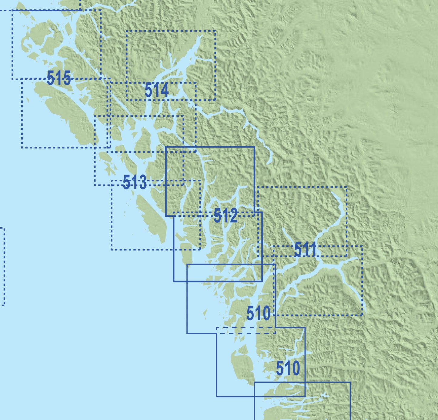
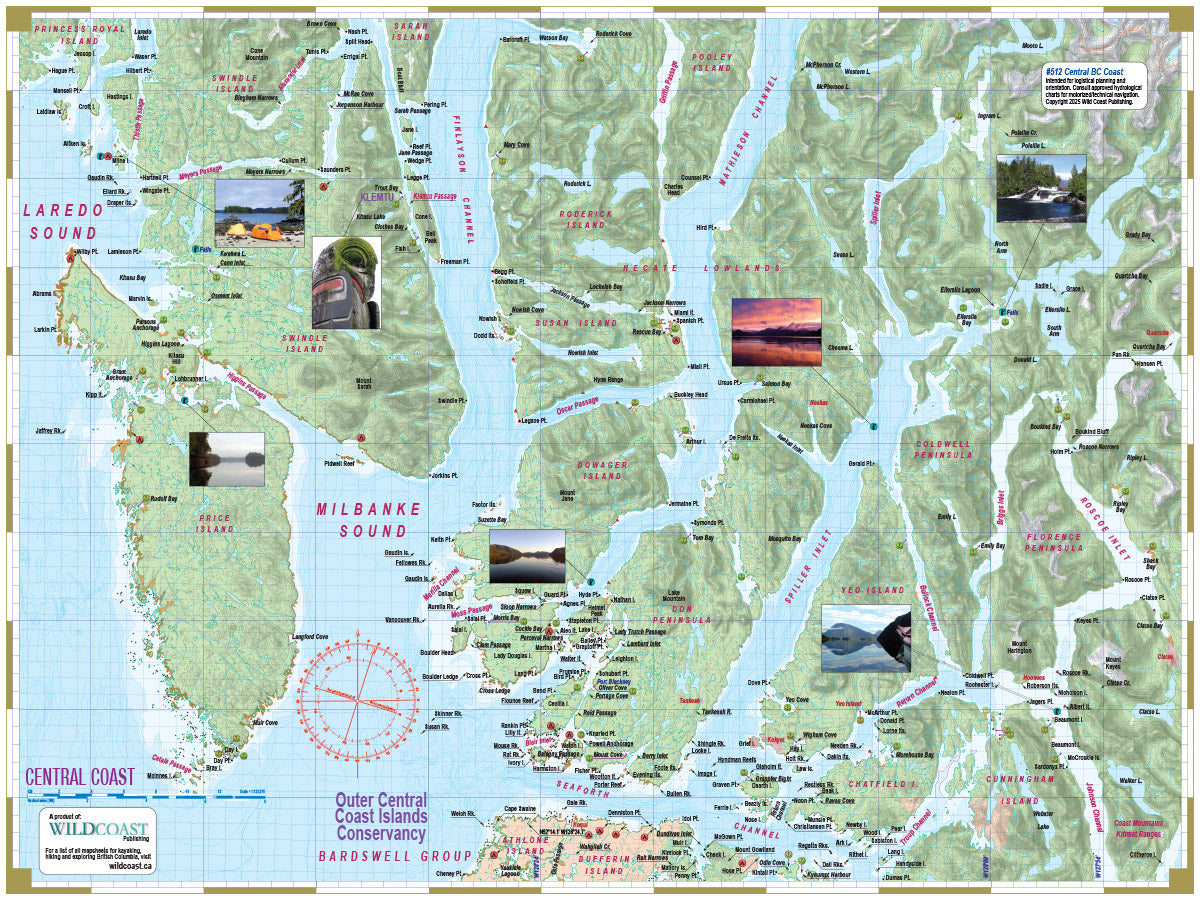
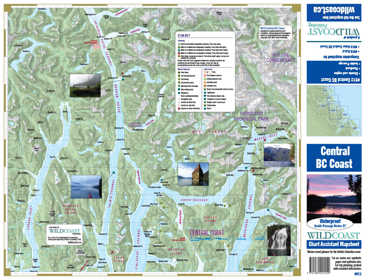
Area covered: This mapsheet covers the British Columbia central coast around Klemtu along the Inside Passage from Seaforth Channel just north of Bella Bella to Aaltanhash Inlet just south of Butedale including Fiordland, Price Island and Spiller Inlet.
Resolution is 1:123,070. Use it for:
- Calculating distances and travel times.
- Choosing destinations including campsites and anchorages.
- For familiarity with the coast for planning and trip logistics.
- Augment your GPS navigation with a handy visual overview as you travel and as you plan your next day's agenda.
- Land features and details not included on charts.
- UTM grid lines for easy distance calculations. Learn to understand and make the most of them.
- Printed on extremely waterproof/durable 10-mil stock when 4.3-mil stock is the norm.
Depth soundings are not included. This series is intended to augment marine travel and not to be used for technical navigation or to replace approved Hydrographic Services charts. Kayakers, canoeists and others may find it sufficient for travel without other resources.
Shipping information: Make sure to select the correct shipping method for your needs. If purchasing outside Canada, our shipping information could be critical in ensuring you receive your package in time for your trip. See shipping alerts, helpful tips and what to expect here.
Share
