Wild Coast Publishing
238 Broughton-Johnstone Kayaking and Boating Map
238 Broughton-Johnstone Kayaking and Boating Map
Couldn't load pickup availability
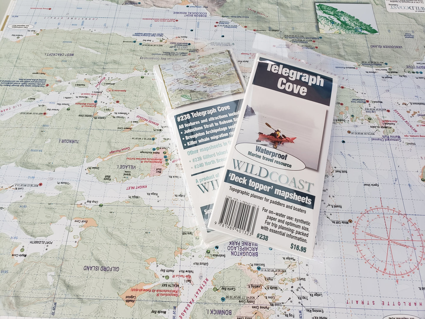
Updated for 2025. Major changes include campsite location updates and improvement to the anchorage inventory. All 2025 editions purchased through online orders will be shipped with a clip to maintain the folds rather than a plastic wrapper to reduce plastic consumption..
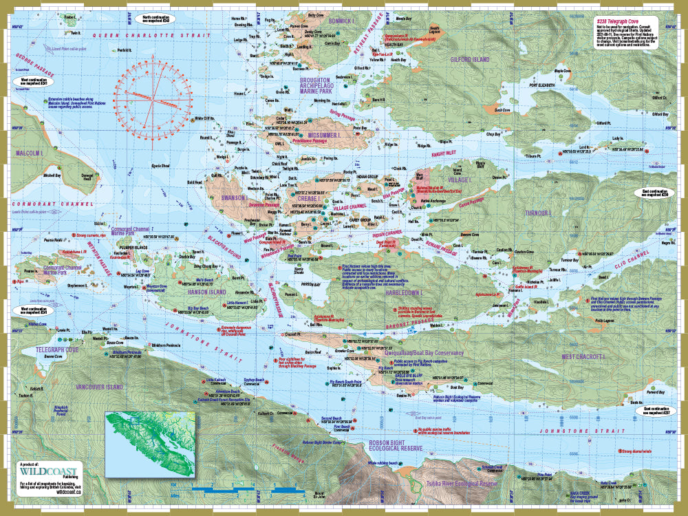
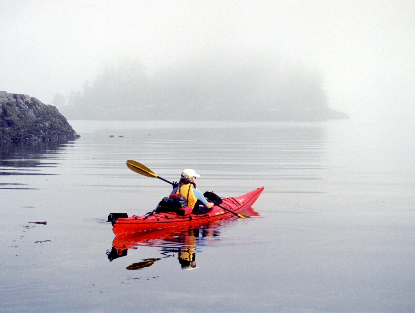
About this region: This mapsheet is intended for anyone departing from Telegraph Cove or Naka Creek into Johnstone Strait or the Broughton Archipelago. The attractions are killer whale watching near Robson Bight and heading into the picture-perfect island clusters of Broughton Archipelago Provincial Park. This mapsheet is newly updated for 2023 reflecting the latest in cultural sensitivities and other vital travel information.
The resolution is 1:61,535. Use it for:
- Trip planning and logistics.
- Hazards and anticipated on-water conditions.
- Itinerary and holiday suggestions.
- Calculating distances and travel times.
- Regional features and attractions.
Depth soundings are not included. This Deck Topper series is intended to augment marine travel and not to be used for technical motorized vessel navigation or to replace approved Hydrographic Services charts. Kayakers, canoeists and other self-propelled craft that do not require depth soundings for transit will find it sufficient for travel without other resources.
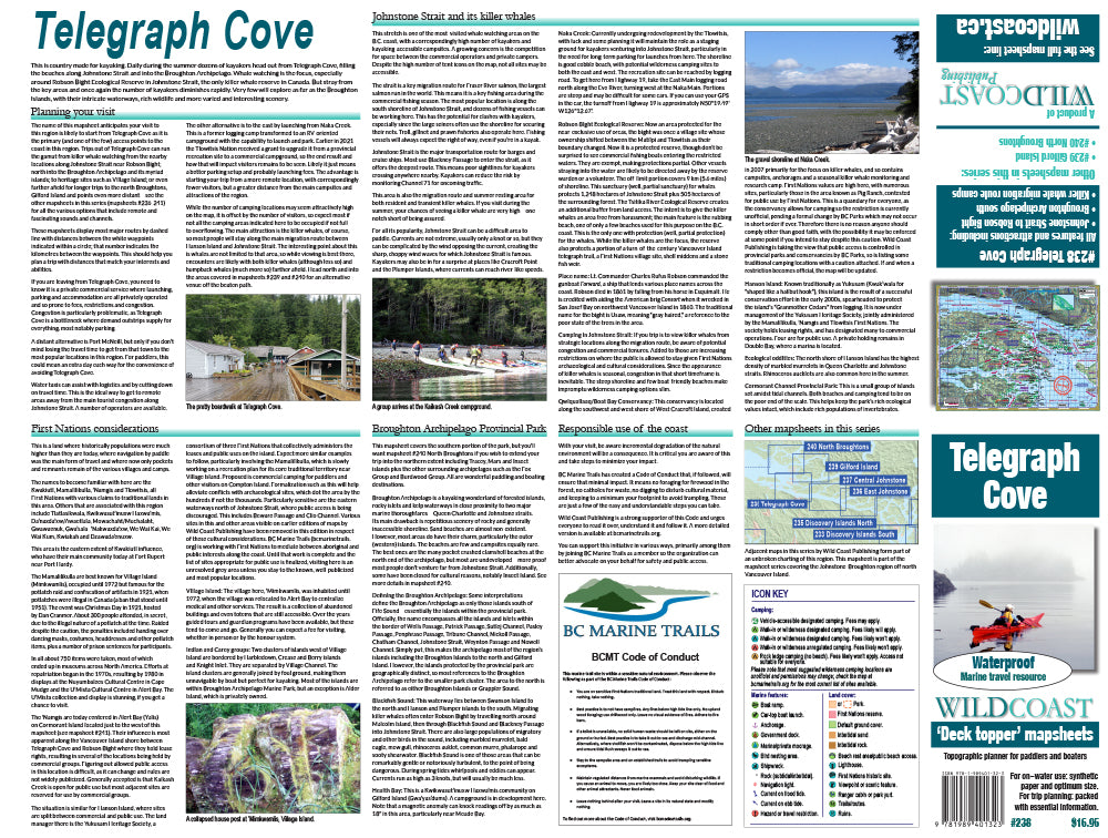
The mapsheet construction: This mapsheet uses the latest printing technology to provide a high-quality printed image on waterproof/durable synthetic polymer stock. The stock is is significantly thicker than most papers at 10 mil weight, making it extremely durable.
New! All 200-series mapsheets now include UTM grid lines. Learn to understand and make the most of them.
The mapsheet construction: This mapsheet uses the latest printing technology to provide a high-quality printed image on waterproof/durable synthetic polymer stock. The stock is is significantly thicker than most papers at 10 mil weight, making it extremely durable.
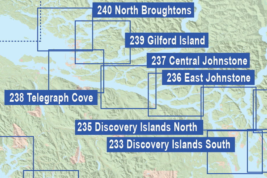
About the Broughton-Johnstone series: This new series covers the region in unrivalled detail, with each mapsheet designed to cover a specific area with textual support to aid trip planning and logistics. No guide book needed. The series includes:
#238 Broughton-Johnstone. The essential mapsheet for journeys into Johnstone Strait and the Broughton Archipelago, this covers the southern area of Broughton Archipelago and Johnstone Strait to Robson Bight, the killer whale reserve.
#239 Gilford Island. The extension into the northeast section of the region and the interiors waters including Tribune Channel, lower Knight Inlet and Kingcome Inlet.
#240 North Broughtons. The companion to #238, this extends northward covering the northern section of Broughton Archipelago into Grappler Sound including the Broughton Islands.
#611 The Broughton-Johnstone Expedition Bundle. Get the bundle and save by buying all three together.
Shipping information: Please read the information in the link before ordering, as doing so will help determine if you will receive your order in time for your trip. See shipping alerts and shipping policy details here.
Share